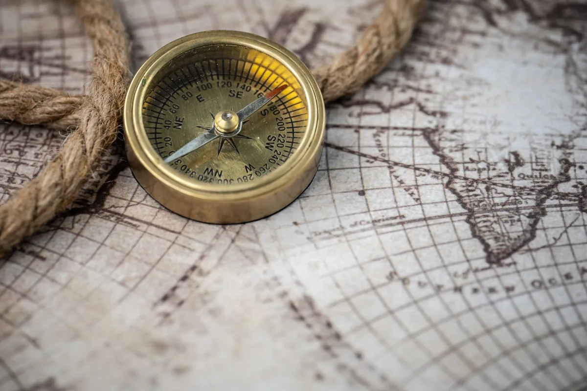
Teaching Kids About Maps and Navigation
Maps are one of the most powerful thinking tools ever invented, and teaching children to read them builds spatial reasoning skills that transfer to mathematics, science, and everyday problem-solving. Yet map skills are often underemphasized in modern education, partly because GPS navigation has made paper maps seem obsolete. But understanding maps — how they represent space, how scale works, how symbols convey information — develops a kind of spatial intelligence that GPS cannot replace.
The good news is that children are naturally fascinated by maps. They love finding where they live, tracing routes to places they know, and discovering what is on the other side of the world. This natural curiosity makes maps one of the easiest teaching tools to introduce at home — especially during outdoor learning adventures.
Start With Their World
The best first map is one your child draws themselves. Have them draw a map of their bedroom, their house, or their neighborhood. This exercise forces them to think about spatial relationships — the bed is next to the window, the kitchen is across from the living room — and translate three-dimensional space into a two-dimensional representation. It is the same cognitive skill that underlies reading any map, and doing it themselves makes the concept click.
From their own map, zoom out to commercial maps. Find your home on a city map. Find your city on a state map. Find your state on a national map. Find your country on a world map. This zooming-out exercise builds the understanding that all maps are representations of real places at different scales — a concept that seems obvious to adults but is genuinely revelatory for children.
🔧 Map Scale Explorer
An interactive tool that teaches how map scale works — how distances on a map relate to real-world distances. Kids practice measuring and calculating using different scales.
Try it free →Understanding Scale and Symbols
Scale is one of the most important and most challenging map concepts. The idea that one inch on a map might represent one mile or one hundred miles requires proportional reasoning — the same mathematical thinking that underlies fractions, ratios, and unit conversion. It is also the kind of applied math that makes word problems click. Practice with map scale reinforces these math skills in a context that feels practical rather than abstract.
Map symbols — the visual language of maps — are another rich learning opportunity. Legends and keys teach children that symbols are a system of communication, just like letters and numbers. Blue means water. Green means parks or forests. Stars mark capitals. Lines of different thickness represent different types of roads. Weather maps add another layer, using symbols for rain, temperature, and pressure systems. Learning to decode these symbols is an exercise in visual literacy that connects to reading comprehension and data interpretation.
🔧 Latitude & Longitude Explorer
An interactive coordinate system where kids click anywhere on a world map to see its exact latitude and longitude. Includes challenges for finding specific locations by coordinates.
Try it free →The ultimate goal of map education is not just knowing how to read maps — it is developing spatial thinking. For more ideas, see our guide to fun ways to teach geography. A child who can look at a map and reason about distance, direction, terrain, and relationships between places — even mapping where dinosaur fossils have been found — has a cognitive tool that enhances their thinking across every subject.
